discover us for yourself
![]()
Discover
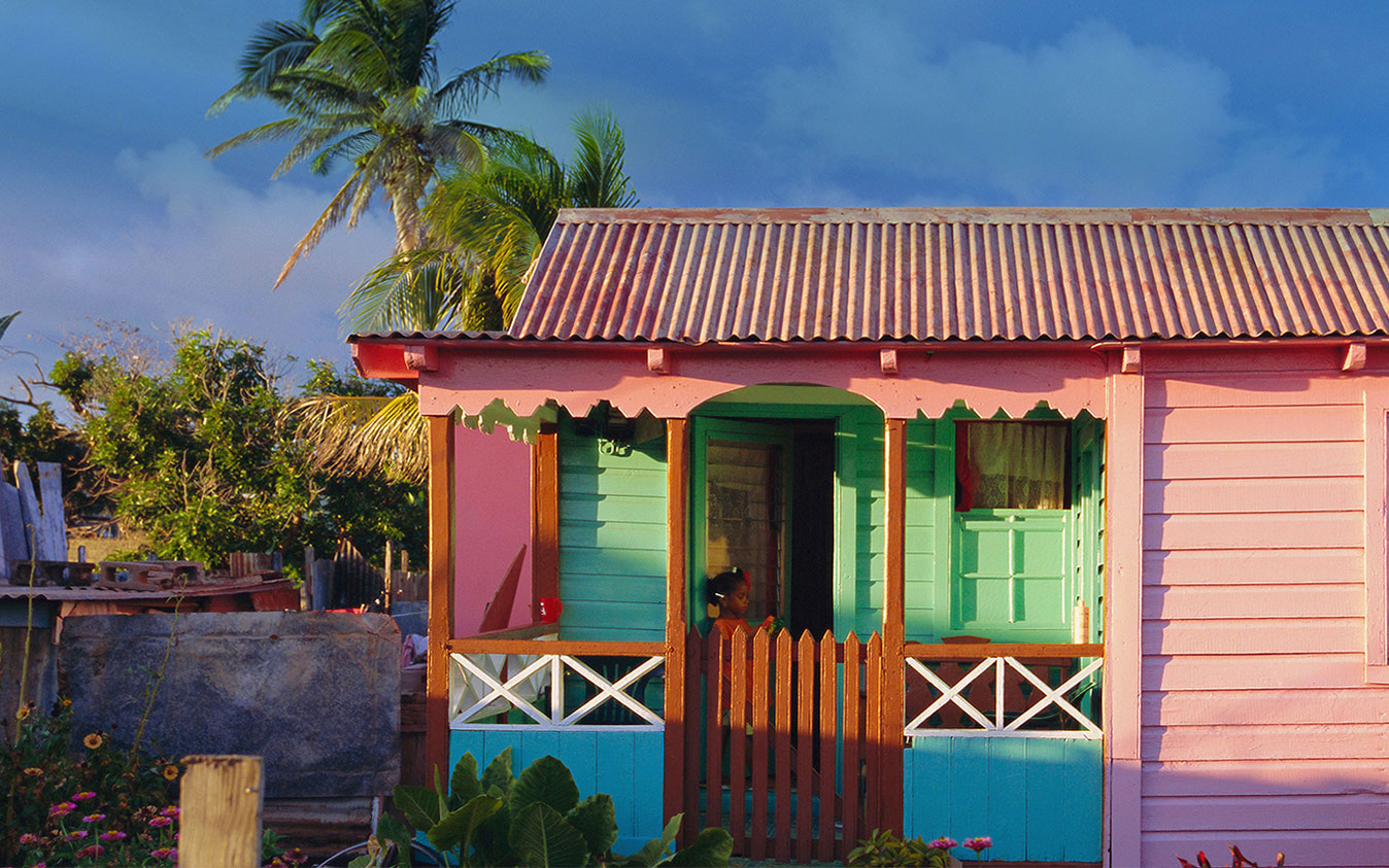
the stories of our proud and friendly people, our charming and colourful villages, our fascinating ruins, our intriguing rain forests,
and our traditions that span centuries.
Our People

Edward Margetson
Edward Margetson Edward Margetson was born in Parsons on the 31st December 1892. Music was in his blood, in fact it had brought his parents together. His father Henry Francis Margetson was a choral director and his mother, Marie (nee Thomas) was considered the finest pianist of her time. It was therefore no surprise that young Edward showed signs of musical talent at a very early age. At age five, when his feet could barely reach...
Read more
Selwyn MacDonald 'Lalaps' Liddie
Selwyn MacDonald 'Lalaps' Liddie Selwyn MacDonald “Lalaps” Liddie was born on the 28th January 1912. His father was George Whattey and his mother was Emily Liddie of Irish Town, Basseterre. At an early age he learnt the artistry of the kettle drummer, and soon became an lead clown dancer and a troupe organiser. Lalaps childhood took place in a St. Kitts that offered very few chances of advancement to the working class person. The sugar estate dominated...
Read more
May Stevens
May Stevens Yvonne May Stevens was born on the 28th May 1910 into the large family of James Henry Stevens and his wife Ethlinda Leonora nee Penn. Her father was at the time, the Master of the Leper Home in Sandy Point but by 1914 the family had moved to Nevis where he held the post of Assistant to the Surveyor on that island. May grew up in a disciplined close-knit house hold that valued family and...
Read moreOur Places

The Zion Moravian Church
The Zion Moravian Church is a solid structure at the point where College Street and Victoria Road meet. Perhaps its most impressive feature, is its very tall windows. Its interior is modest and uncluttered. In 1774, while on a visit to England, the American born lawyer, John Gardiner, met with Moravian representatives Benjamin La Trobe and John Wollin. Having gone through a politically strenuous time in St. Kitts, Gardiner was growing disenchanted with both the secular...
Read more
The Bungalow - Newton Ground
In 1920, Charles Wilton Wood Greenidge who had come from Barbados to serve as a magistrate tried again. A young man of 31, he must have found St. Kitts a quiet place with lots of potential for enterprise. Soon after his arrival, he had acquired Brotherson’s estate and he envisioned the estate becoming the location of a second sugar factory with shipping to take place in the vicinity as well. The Bungalow at Newton Ground...
Read moreVambell Estate
Vambell Estate near Sandy Point but actually in the Parish of St. Thomas, takes its name from its earliest known owner Peter van Belle. The estate was located in the English quarter of St. Kitts. Van BellePeter van Belle was born in Province of Holland now part of the Netherlands probably in the 1640s. Very little is known of his early life. With his brother Joshua, he became involved in the Asiento de Negros. This was...
Read moreOur Events

Labour Day - first Monday in May
Labour Day March, 1955 The afternoon events at the park were well attended. The Union’s Entertainment Committee organised a Steel Band Competition. Esso, Wilberforce, Amstel, Boston Braves, Battalion and Invaders competed with the last emerging as the winners. Lord Croft sang a special Labour Day Calypso. The bands then played on the streets of Basseterre. Looking to the future, the Messenger’s editorial declared, “The idea is not yet as firmly rooted as it might have been, but...
Read more
Good Friday
Good Friday is a quiet day in St. Kitts. Many go to the various church services that commemorate Christ’s Crucifiction . At home, there are hot cross buns for breakfast while lunch consists of cooked saltfish, mackerel, or fresh fish served with a mixture of starchy foods (potatoes, sweet potatoes, breadfruit, green figs, yams, cassava, dasheen, edoes) and greens. In St. Kitts, Good Friday and the rest of the Easter weekend is also the time...
Read more
Statehood 28th February 1967
Statehood flag The West Indies Federation was an experiment in unity for the English Speaking Caribbean and should have resulted in an independent West Indian nation.. After long discussions it came into being in 1958. Elections took place that year but Jamaica and Trinidad did not join the new political unit with the same commitment as the other islands. Economic prosperity meant that these two islands did not feel the need to be part of a...
Read more"In this bright future, you can't forget your past"
Interactive Map
Move your mouse over the red map markers to view information about each particular location. To read more, click the marker for further information. Locations may also be selected using the adjacent listbox.

Government Headquarters
Church Street
Basseterre
St. Kitts, West Indies
Tel: 869-465-2521 ext.1208
Website: www.nationalarchives.gov.kn
![]()
19 St. Clair Avenue
Port-of-Spain
Trinidad and Tobago
© Copyright 2018 National Archives, St. Kitts Nevis. All rights reserved.
Web Development: Genesis